
Trips · Orange County
Ortega Highway and Cook's Corner
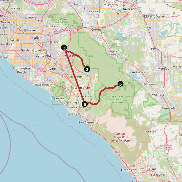
Two canyon pieces. Santiago Canyon Road runs from Orange to Cook's Corner. Ortega Highway runs from San Juan Capistrano east to the Ortega Oaks pull-off and back.
59.1 miles · 1 hr 25 min
Directions
By day
Santiago Canyon Road to Cook's Corner and back
23.5 miles · 34 min
Santiago Canyon Road to Cook's Corner and back
Ortega Highway to Ortega Oaks and back
35.6 miles · 51 min
Ortega Highway to Ortega Oaks and back
Directory stops
Open in Google Maps · Santiago Canyon Road to Cook's Corner and back
Open in Google Maps · Ortega Highway to Ortega Oaks and back
Miles and times are estimates. Map data © OpenStreetMap contributors.